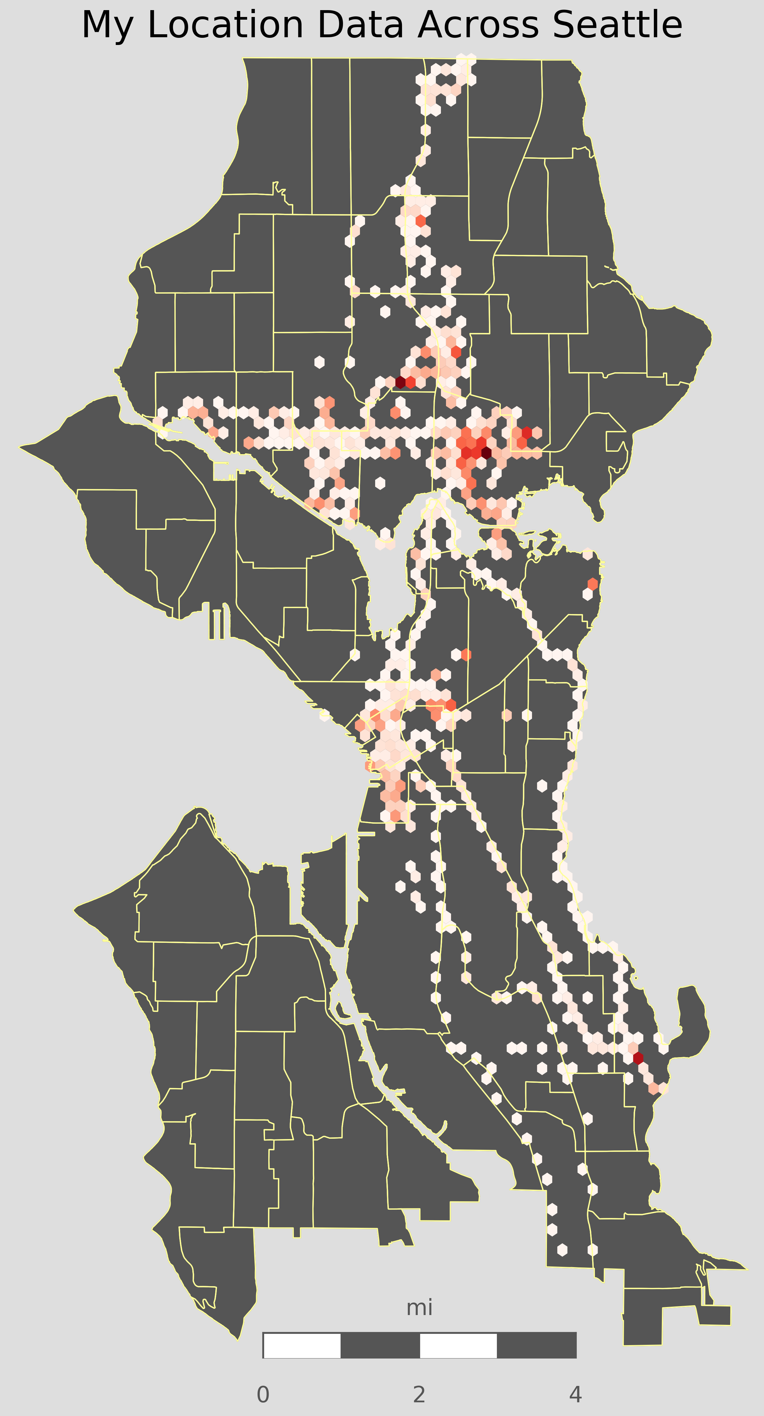
Using Google Takout, I was able to map my location data across Seattle
Mapping my Location using Basemap
Using the framework from my Crime Mapping Project, I was able to combine Google Takout with my exisitng code to look at which places I frequent in Seattle. Darker shades of blue on the map correspond to more time spent in that area. The number of Hexbins used can be changed to control the resolution of location data that I wish to plot.

Obvious trends can be seen in my location data, including areas where I have lived, frequent roads and freeways I take, the light rail path, and a general sense that I spend more time north of downtown.